Favourites
Surveying equipment on tripod overlooking water

Geospatial Survey Technician

Gathering geographical data to improve maps and plan construction projects

How this role makes a difference

Every time a map or a satellite navigation system is created, or a new road, mine, housing estate, or office tower is built, research is carried out on the space and land involved. 

Architects, construction companies, town planners, and infrastructure engineers need to understand the dimensions and character of a space in detail, so they can plan how to work and build. You could be the technician who gathers detailed data for mapping and construction projects so they can be planned and delivered accurately.

The kind of work you’ll do

  • Understanding from colleagues and clients the geospatial information they need
  • Capturing geospatial information using a wide set of technologies
  • Translating data into 2D and 3D models
  • Performing calculations
  • Creating reports and presenting models and findings
Useful skills
Technologically minded
Useful skills
Precise
Useful skills
Decisive
Useful skills
Problem solving

What you can bring to the role

£ 0 1 2 3 4 5 6 7 8 9 0 1 2 3 4 5 6 7 8 9 , 0 1 2 3 4 5 6 7 8 9 0 1 2 3 4 5 6 7 8 9 0 1 2 3 4 5 6 7 8 9
Average salary per year *
£ 0 1 2 3 4 5 6 7 8 9 , 0 1 2 3 4 5 6 7 8 9 0 1 2 3 4 5 6 7 8 9 0 1 2 3 4 5 6 7 8 9
Average salary per month *

Data powered by LMI for all
*according to ONS

Future career opportunities

There are opportunities to work for local authorities that lead the planning of cities, towns, and surrounding countryside. Or you could work for a civil engineering consultancy or a major building contractor.

There are consultancies that focus on geospatial surveying services or you might progress to working for a multinational corporation, supporting major building and development projects around the world.

How to get into this role

There’s no perfect career path or ideal way into your dream job.

 But if you’re interested in education and training options that could be relevant to this role, you might want to consider:  

Schools and colleges each have their own career guidance plan and can provide detailed information, advice, and guidance on options and next steps.

A little more about the role

Exciting features...

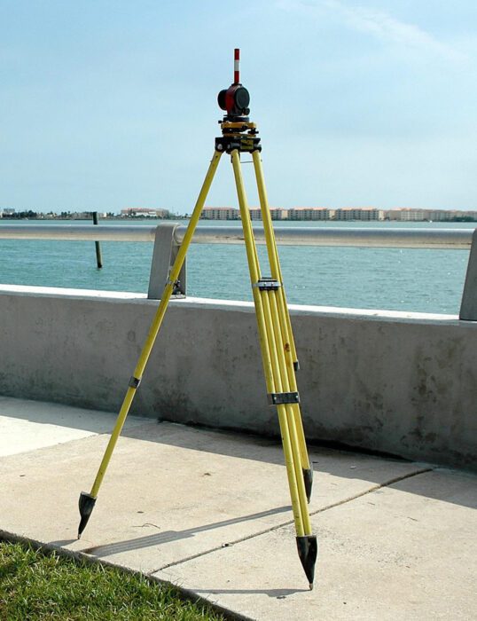
Geospatial survey tools are high tech instruments that can give you 3D information on a space which is translated into models. These models allow plans and visuals to be made of future buildings. In some companies you may have the opportunity to fly a drone, as they are being used to gather geospatial information more quickly and can provide clear images of sites from above.

Discover
technicians who
do this role

Like the sound of
this role?
Read a technician's story